


National Remote Sensing Day 2026
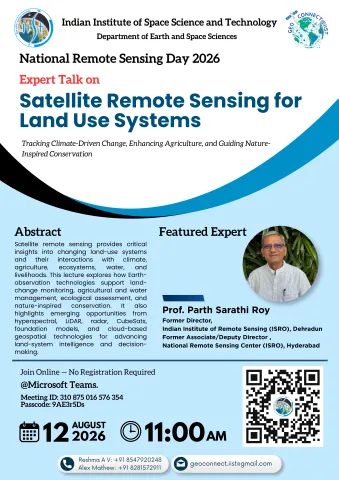
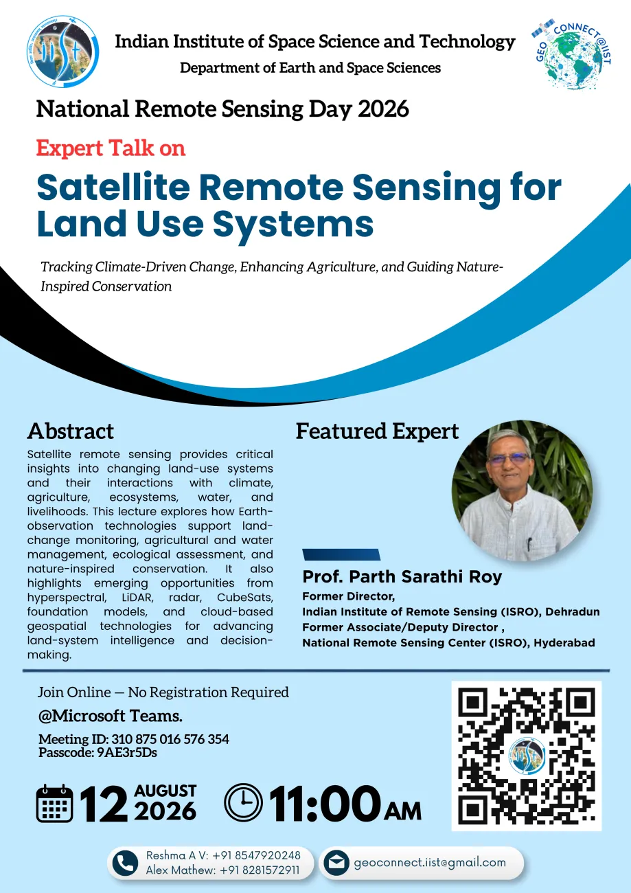
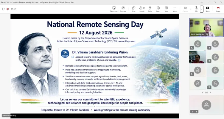
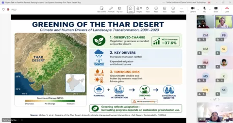
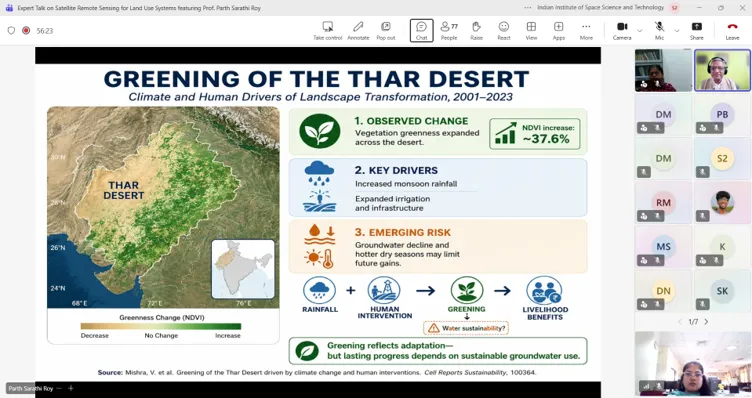
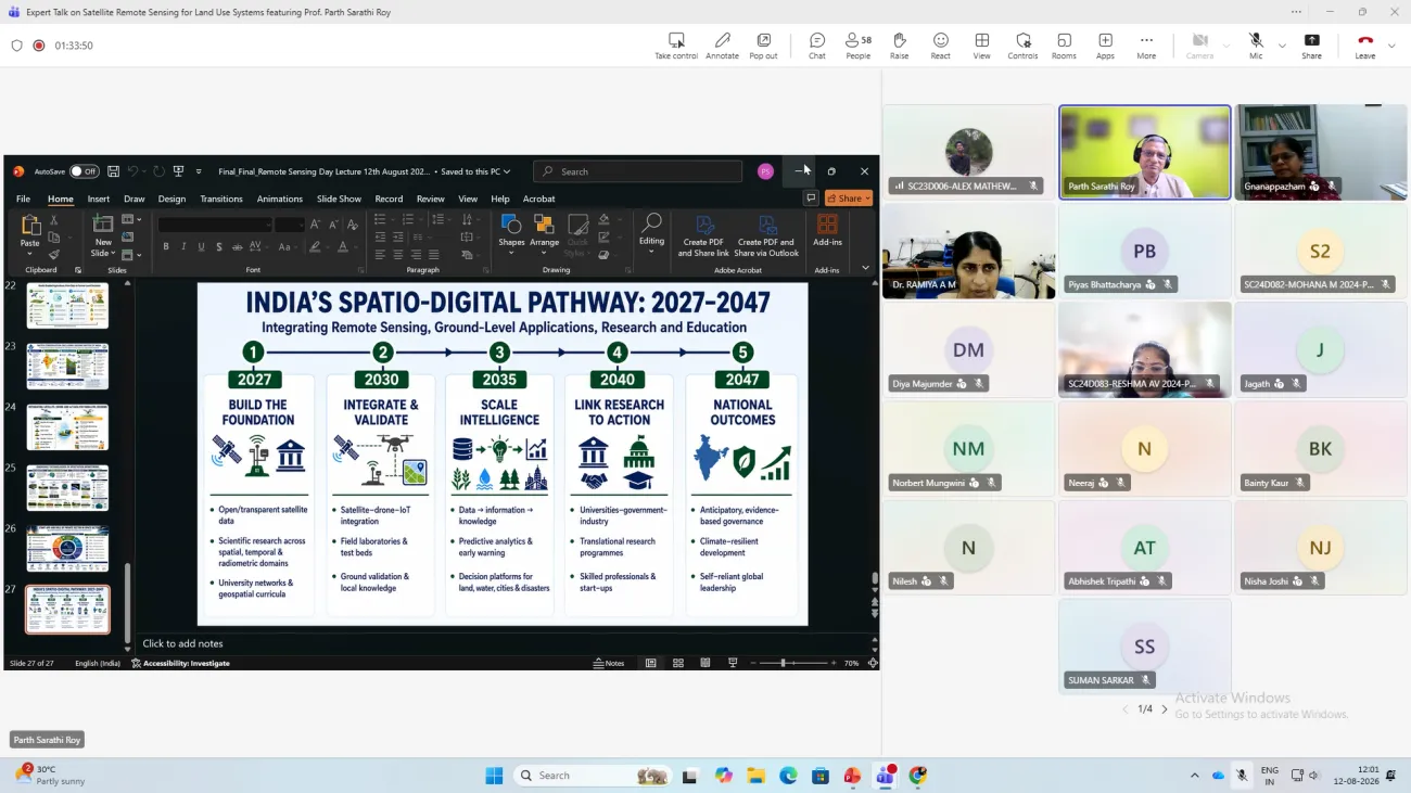
The Department of Earth and Space Sciences, IIST, organised an expert lecture to commemorate National Remote Sensing Day 2026 on 12 August 2026. The lecture, titled “Satellite Remote Sensing for Land Use Systems: Tracking Climate-Driven Change, Enhancing Agriculture, and Guiding Nature-Inspired Conservation,” was delivered online by Prof. Parth Sarathi Roy, Former Director, Indian Institute of Remote Sensing (ISRO). The lecture explored satellite remote sensing applications in land-use monitoring, agriculture, water management, ecological assessment, conservation, and GeoAI, while highlighting emerging technologies including hyperspectral sensing, LiDAR, radar, CubeSats, foundation models, and cloud-based geospatial services. The event attracted 79 participants from across India, including researchers, academicians, and professionals, providing a platform for knowledge exchange on emerging applications of Earth observation and remote sensing.
Prof. Parth Sarathi Roy
Former Director, Indian Institute of Remote Sensing (IIRS),
Former Associate/Deputy Director (RSD),
National Remote Sensing Centre (NRSC), Hyderabad
Venue
Online via Microsoft Teams
Join the Microsoft Teams Meeting:
https://teams.microsoft.com/meet/310875016576354?p=dSDOPtxrbqbsm0tryg
Meeting ID: 310 875 016 576 354
Passcode: 9AE3r5Ds
Event Details
-
Mode:Online